GeoTrellis is a geographic data processing engine for high performance applications.
I/O
GeoTrellis provides data types for working with rasters in the Scala language, as well as fast reading and writing of these data types to disk.
Operations
GeoTrellis provides a number of operations to manipulate raster data, including cropping/warping, Map Algebra operations, and rendering operations, as well as vector to raster operations such as Kernel Density and vectorization of raster data.
Web Service Utilities
GeoTrellis includes a set of utilities to help developers create useful, high performing web services that load and manipulate raster data.
Demos
We are always figuring out new ways to leverage the powerful processing power of GeoTrellis. The source code for demos can be found on our GitHub account.
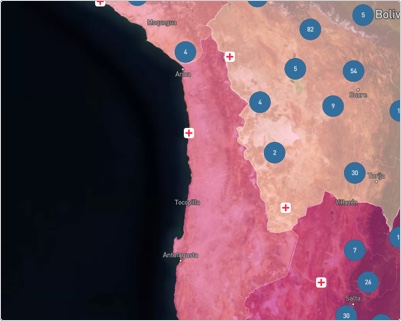
Supporting Sustainable Development Goals
This map shows the proportion of a country’s population that is within 2km of an all-season road in support of SDG Indicator 9.1.1.
See demo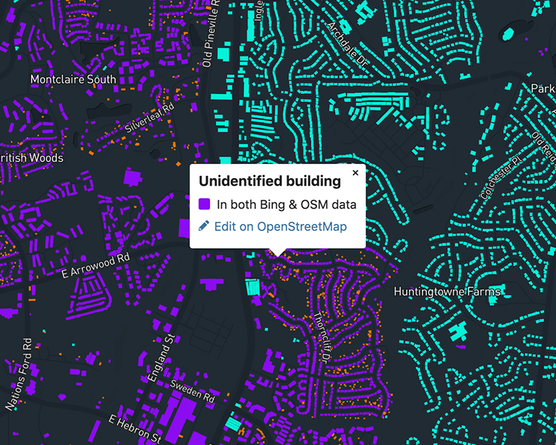
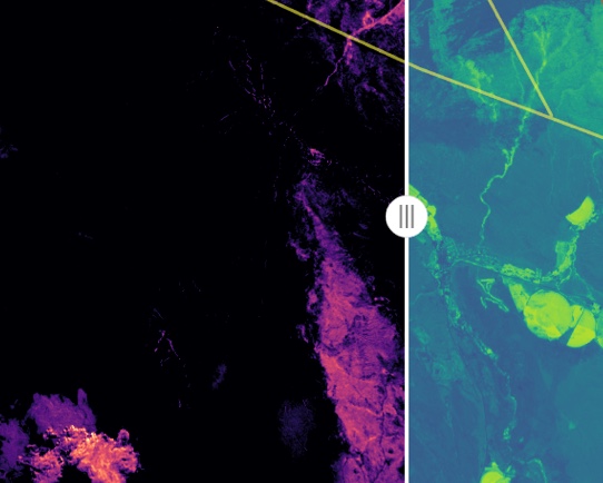
Visualizing dataset discrepancies
There are 125 million building footprints in Bing and 33 million in OpenStreetMap. This map leverages Azavea’s VectorPipe library to help show how the two large datasets differ.
See demo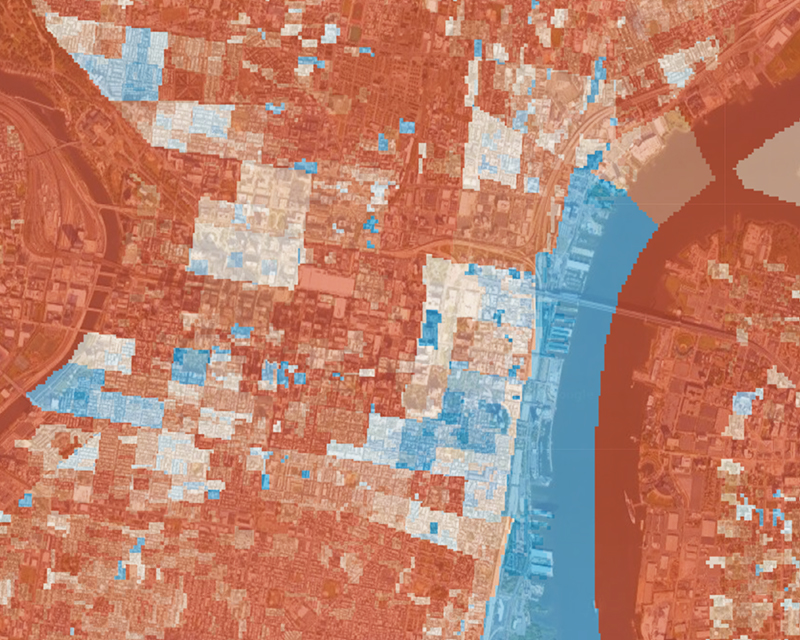
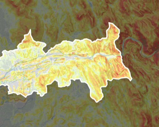
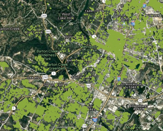
Identifying the best place to plant a tree
Trees provide countless economic, social, and environmental benefits. Discover optimal tree planting locations based on environmental and demographic data.
See demoProjects that use GeoTrellis
Explore applications that leverage the high performance geoprocessing capabilities of GeoTrellis.
Developing with GeoTrellis
We have an active Gitter channel, where we can help you get started and answer questions you may have about using GeoTrellis in your project!
Join
Think GeoTrellis could help your organization, but not sure where to start? Let’s talk.
Contact us

